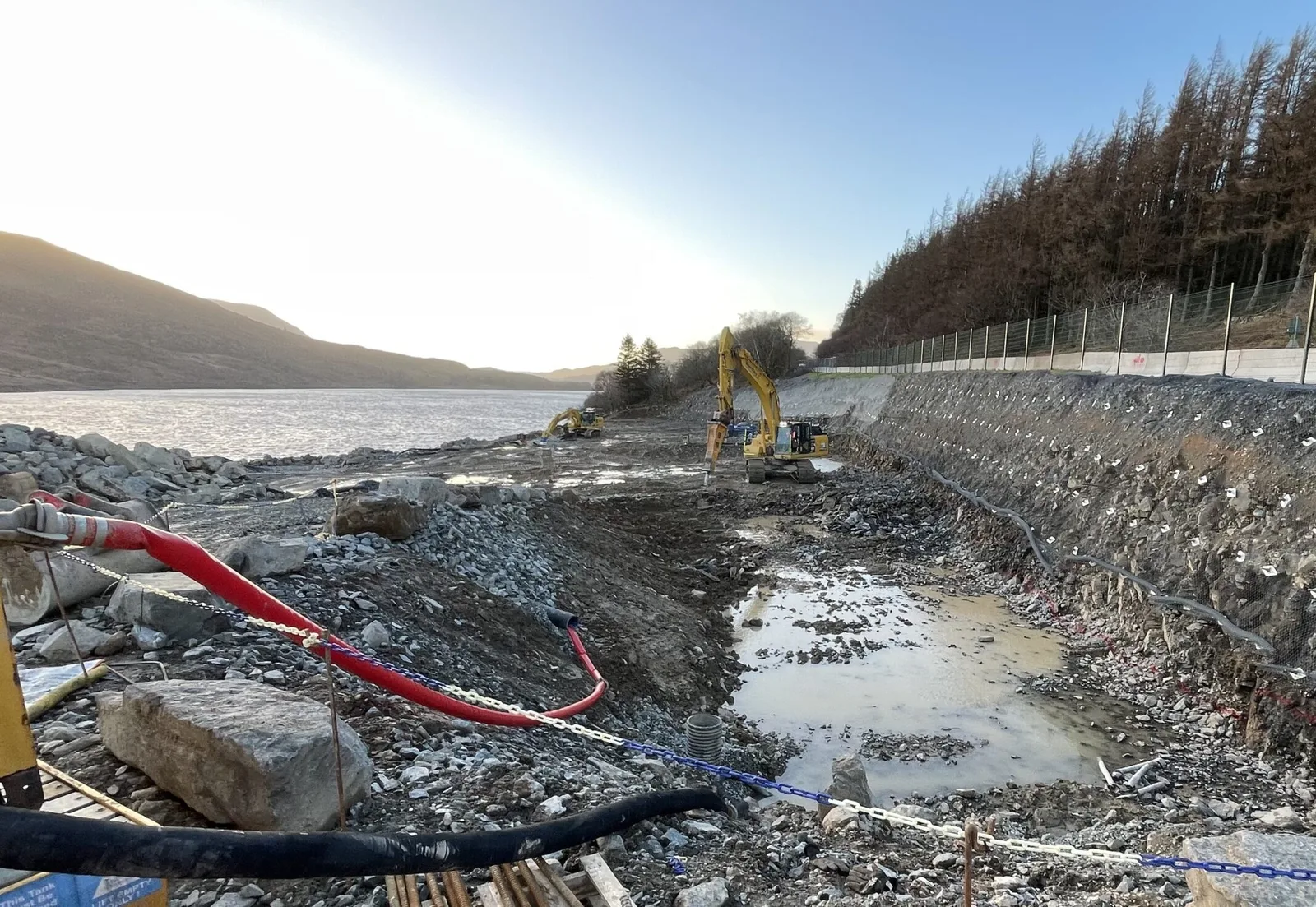
On site beside a mountain reservoir in North Wales

Land surveying and machine control models in North Wales

Topographical surveys, setting out, PAS 128 utility surveys and 3D machine control models for contractors, developers and designers across North Wales and the North West of England.

On site: our work in Eryri

Survey data your whole project can build from

From the first topographical survey to the final volume check, we measure, model and set out the ground your scheme depends on. What you get is a clean, layered drawing your architect, engineer or groundworker can open and use straight away, and a single house plot gets the same care as a highway.

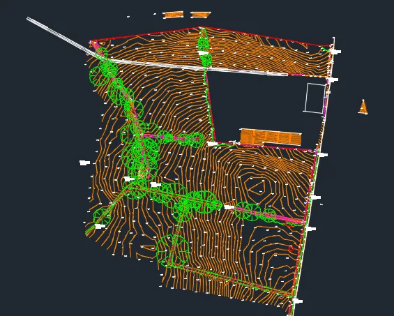
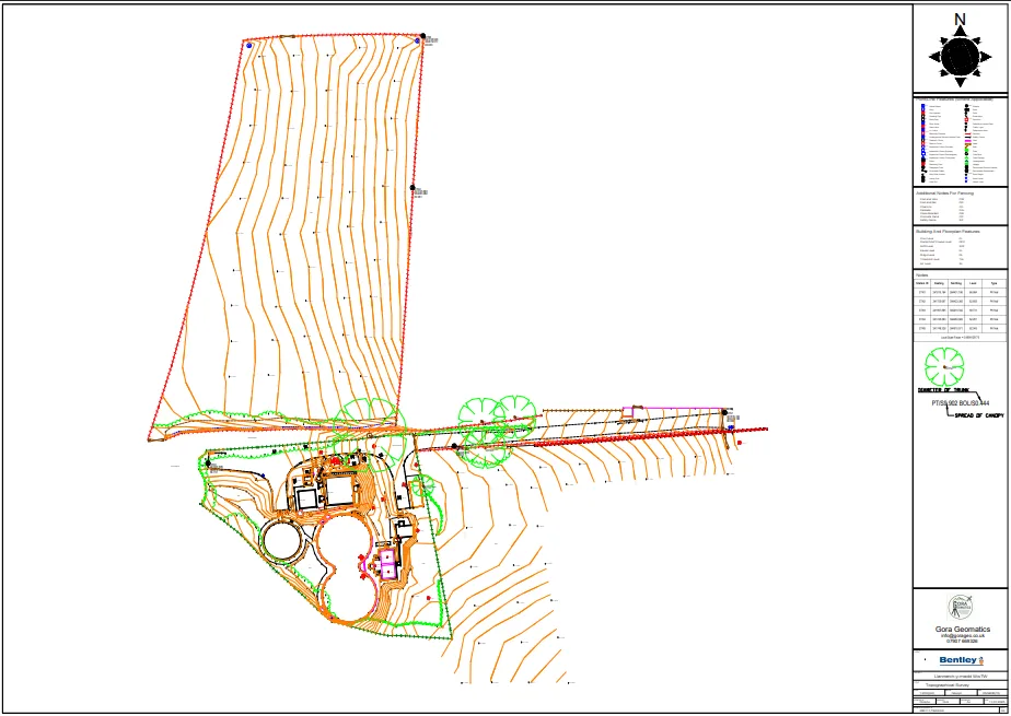
Gora Geomatics topographical survey drawing: orange contour lines across a field, green tree canopies, red site boundaries and buildings, with a north arrow, key and title block down the right
Drawing
Topographical survey
Location
North Wales
Delivered as
CAD and PDF
  • 40+ years of combined experience

    Founded by engineering surveyors who have spent their careers on site.

  • PAS 128 utility surveys

    Buried services found with GPR and EML, to the latest standard. PAS 128 surveys

  • North Wales and North West England

    Gwynedd, Anglesey, Conwy, Cheshire and Shropshire. Areas we cover

Five services, one survey team

Pick the one you need, or tell us about the job and we'll tell you which fits.

Concrete pump boom reaching over formwork in a large excavation, with mixer lorries, an excavator and green hills beyond under a bright sky

Measured once. Built right.

A concrete pour during our site work in Eryri

Measured on real schemes

A few figures from work our engineers have delivered, and the projects behind them.

  • 40+years

    Combined experience

    Gora Geomatics was founded by engineering surveyors who have spent their careers on site, on everything from private builds to major infrastructure.

    About Gora Geomatics
  • 8km

    Dual carriageway

    Our engineers have delivered setting out on an 8 km dual carriageway scheme, where control has to hold true from one end to the other.

    Site setting out
  • 1,400+

    Bolt clusters

    Projects with more than 1,400 structural steel bolt clusters, each one positioned so the steel frame lands exactly where it should.

    How we set out steelwork
  • 200m

    Spillway in Eryri

    Setting out a 200 m spillway at Wales' largest reservoir, 300 m above sea level and designed for a 1-in-10,000-year storm.

    Read the spillway case study

Recent projects in North Wales

What the client needed, how we surveyed it and what we handed over.

All case studies

Robotic total station on rock armour, monitoring a steel pile being lifted into place by a crane on the coast
Setting out piles for coastal works.

Engineering surveyors who know how a site runs

Gora Geomatics was founded by experienced engineering surveyors with more than 40 years of combined industry knowledge.

That time on site shows in the details. We check design data before we arrive, choose the right instrument for the ground, and hand over files your team can open and use straight away. When something on the drawings doesn't add up, we say so before it costs you time.

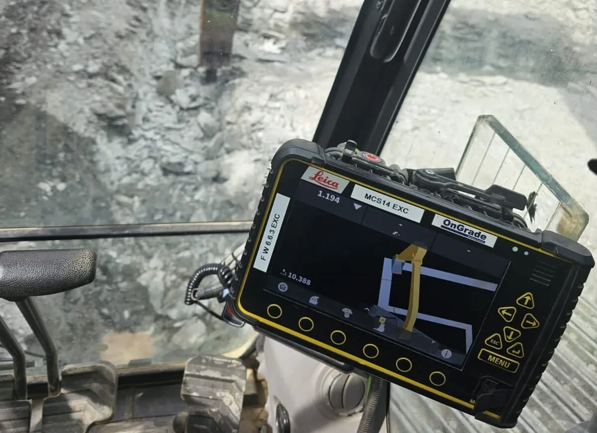
We work with robotic total stations, GNSS, 3D laser scanning, drone photogrammetry and machine control systems, and choose the method that suits each site.

More about Gora Geomatics

Tell us about your site

Send a location, a drawing or a short description. We'll confirm the survey you need and send a clear quote.

Talk to an engineering surveyor
07907 669326

Monday to Friday

Get a quote

Ask us for a quote and we'll get back to you as soon as we can.

Working across Gwynedd, Anglesey and Conwy, and in Cheshire and Shropshire. Areas we cover